
Below Victoria Peak: Hong Kong's Cartographic Archives and Photographic Memories
Below Victoria Peak: Hong Kong's Cartographic Archives and Photographic Memories
Couldn't load pickup availability
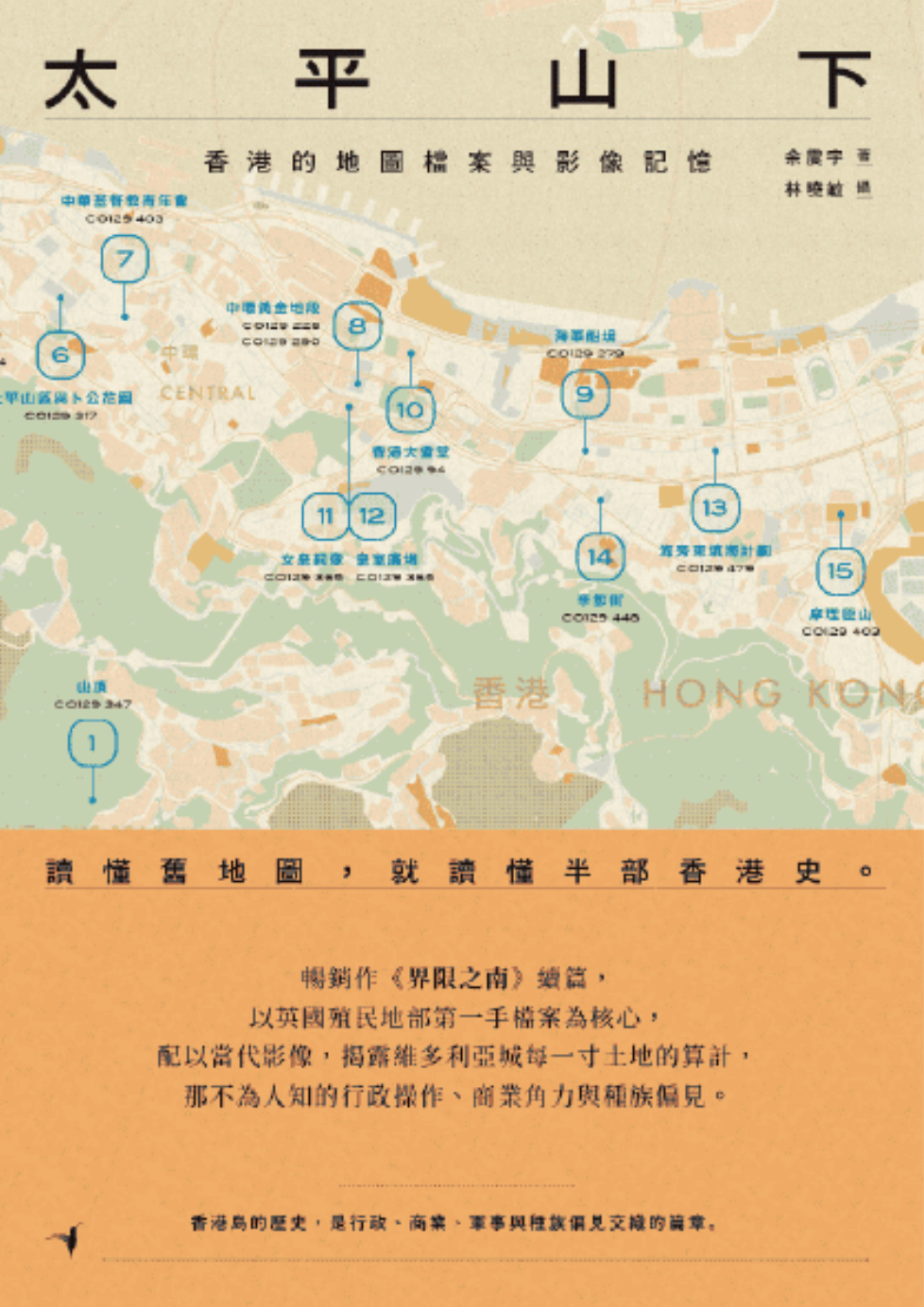
To understand old maps is to understand half of Hong Kong's history.
The sequel to the bestseller "South of the Boundary," centering on first-hand archives from the British Colonial Office and supplemented with contemporary images,
reveals the calculations behind every inch of Victoria City, the untold administrative operations, commercial rivalries, and racial prejudices.
***
"Every plan is a reordering of power."
From the deliberate segregation of Chinese people in the Mid-Levels,
to Kennedy Town, elevated from "Garbage Bay" to a new town in the name of the Governor,
to Central, where statues symbolized imperial power,
to North Point, transformed into a oil storage base for the British Empire,
behind every street and every inch of land in Victoria City lies a struggle and calculation of various interests.
Colonial Office maps reveal the truth of development at the foot of Victoria Peak, while contemporary images document the current appearance of Hong Kong Island.
The juxtaposition of two eras reconstructs a more three-dimensional and powerful history of Hong Kong.